
All projects
03 / 07 · Road infrastructure
Road Development and Underground Utilities
Precision geometric layout and integration of road infrastructure with existing public utilities.
Project profile
Sector
Road infrastructure
Coordination
Road + Underground utilities
Methodology
Infrastructure BIM
Client
C&C Castelblanco
01 Results
Financial impact and avoided cost overruns
0
Unplanned stoppages of heavy machinery.
100%
Underground utility conflicts resolved before excavation.
~$390MCOP
~$111KUSD approx.
COP in cost overruns avoided by coordinating 3.5 km of road corridor with existing underground utilities.
02 The challenge
The Project Challenge
Laying out road corridor geometry for C&C Castelblanco across complex terrain, ensuring full compatibility with existing underground public utility networks (sewage, water supply, power).
The main risk was an unforeseen clash during excavation, which triggers costly machinery stoppages and regulatory penalties.
03 The solution
The Cabo Solution
We digitally modeled both the road corridor geometry and the three-dimensional map of existing underground utilities:
Underground Anticipation
We identified and resolved critical underground crossings before breaking ground.
Adapted Geometry
We adjusted the road layout in exact response to existing topographic and utility conditions.
Operational Continuity
We delivered a clear execution plan so heavy machinery could operate safely.
04 Technical media
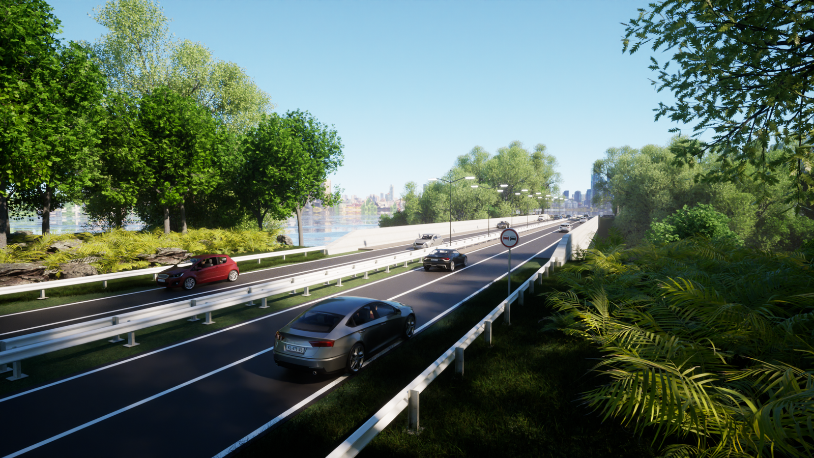
3D road layout visualization and underground utilities


05 Delivery
Results Delivered
Next step
Planning an infrastructure or underground utilities project?
Design the terrain with precision and avoid underground surprises.